Cities and infrastructure
Making the systems that move people and connect communities work better, for everyone who relies on them.

Making the systems that move people and connect communities work better, for everyone who relies on them.
Portable has spent more than a decade working with the operators and councils that keep cities running: trams, land information systems, and the local services people use every day. We start with the people who rely on that infrastructure, then work with the teams who run it to build something more efficient, more reliable, and easier to use. That's what's behind the real-time data foundation now running through Melbourne's tram network and the community-first website redesign that Banyule Council uses today.
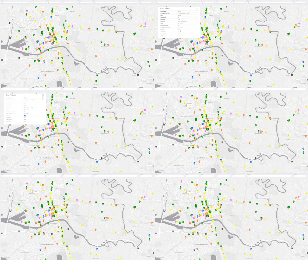
This program gives Melbourne's tram passengers, more than 200 million trips a year, more accurate real-time crowding and arrival information, so people can plan their journey with confidence instead of guessing. For Yarra Trams and the Department of Transport and Planning, it created a live data foundation that can prioritise traffic lights for delayed trams and pinpoint exactly where and when the network gets congested.
The redesign gives residents across Banyule's 21 suburbs a website built around what they actually came looking for, validated by testing the new structure with 186 residents, rather than one organised around council's internal departments. For Council staff, it came with a content strategy that keeps guiding decisions long after the redesign itself was finished.

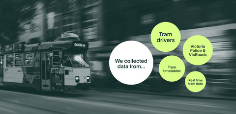
This tool automates the analysis of more than 2,000 delayed or cancelled tram trips a month, reaching 80% accuracy within its first three months, so Yarra Trams' Operations Centre staff spend less time on manual data work and more time acting on what the data shows. It also surfaced disruptions that staff would otherwise have missed entirely.
By converting complex datasets into interactive visual representations, geovisualisation enables policymakers, researchers, and the public to better understand environmental impact.
Read moreDiscover how digital twins are helping public and private sector leaders make smarter, faster decisions with real-time data and spatial insight.
Read moreThe real infrastructure debate: how metrofitting can repair cities and lifestyles
Read moreEvaluating the current state of public transport and how we can improve the wayfinding experience.
Read moreCollaboration is at the heart of all that Portable does. Let us know what you're working on and how you envision us partnering.